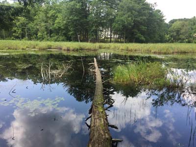
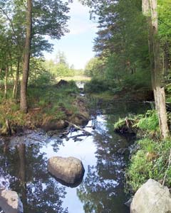
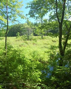
Concatinated Plan Sections
To read or print the plan in its entirety, click on the following links.
(To pick specific sections or maps, scroll down below.)
Introduction about how to navigate individual sections and maps
Title Page and Table of Contents
|
|
Section 1
Purpose of this Land Conservation Plan
In This Section:
- Background
- Approach
- Conservation Goals
- Plan Elements and Applicability
Status: Final
|
|
Section 2
Reasons for Conserving Land
In This Section:
- Aesthetic and Environmental Reasons for Conserving Land
- Studies of the Economic Benefits for Conserving Land
- Conservation’s Impact on Atkinson’s Tax Rate
- Excerpts and Recommendations from Atkinson’s 2015 Master Plan
- State Laws Pertaining to Open Space Preservation
- Challenges and Emerging Issues
Status: Final
|
|
Section 3
Methods for Conserving Land
In This Section:
- Land Ownership
- Protection of Town-Owned Conservation Land
- Conservation Easements
- Cluster Subdivision Dedicated Open Space
- Other Zoning Protections
- State Regulations
- Property Tax Relief Programs: Current Use and Conservation Restriction
- Examples of Methods of Conserving Land
Status: Final
|
|
Section 4
Conservation Attributes in the Town of Atkinson
In This Section:
- What is a Conservation Attribute?
- An Introduction to the Maps
- A Description of the Maps
- How to Use the Maps
- Maps 1 – 14 (see the table below)
Status: Final
.
| Section 4 - GIS Conservation Attribute Maps |
| Map Name |
Map |
| Map 1 - Land Use 2015 |
Map 1 |
| Map 2 - Topography |
Map 2 |
| Map 3 - Soils (NRCS, 1994) |
Map 3 |
| Map 4 - Agricultural Soils |
Map 4 |
| Map 5 - Surface Water, Watersheds, FEMA Flood Hazard Areas |
Map 5 |
| Map 6 - Groundwater, Aquifers (USGS 1992) |
Map 6 |
| Map 7 - Wetlands |
Map 7 |
| Map 8 - Open Space |
Map 8 |
| Map 9 - Wildlife Habitat Features |
Map 9 |
| Map 10 - Aerial Photo (USGS/NHDOT 2015) |
Map 10 |
| Map 11 - Impervious Surfaces (UNH Complex Systems, 2015) |
Map 11 |
| Map 12 - Unfragmented Blocks |
Map 12 |
| Map 13 - Forest Resource Potential |
Map 13 |
| Map 14 - Connecting the Coast (TNC, SELT 2019) |
Map 14 |
|
|
Section 5
Analysis of Conservation Priorities and Opportunities
In This Section:
- Conservation Priorities for the Town of Atkinson
- Co-Occurrence Mapping - Analysis of Conservation Priorities
- Examples of How to Use These Maps
- Why These Maps Are Important
- Map 15 – The Co-Occurrence Map (see the table below)
Status: Final
.
| Section 5 GIS - Map |
| Map Name |
Map |
| Map 15 - Natural Resource Priority Areas |
Map 15 |
| Map 15 - Raw Layering File - Supplemental Information |
Raw Layering File |
|
|
Section 6
Recommendations and Conclusions
In This Section:
- Recommendations
- Conclusions
Status: Final
|
|
Appendix A
A Brief History of Conservation in Atkinson
In This Section:
- The Atkinson Conservation Commission (an overview)
- Accomplishments
- The Conservation Fund
- The Forest Maintenance Fund
- By-Laws and Rules of Procedure
- Mission Statement
- Policies and Guidelines for the Use of Conservation Land
- Excerpt from Atkinson Then and Now
- Chet Ladd Dedication, from town’s Annual Report of 1988
- Ruth McPherson Dedication, from the Town’s Annual Report of 1992
- Atkinson residents who have served on the Conservation Commission
- An essay by former Commission Chair Scott Kukshtel about the importance of the Conservation Fund
- Chronology of Conservation in Atkinson, a summary of Annual Reports of the Conservation Commission, 1974 - 2020
Status: Final
|
|
Appendix B
Current State of Conservation in Atkinson
In This Section:
- Summary of Land Uses in Atkinson
- Tables and Maps (see table below)
Status: Final
Supplemental Information - Tax Assessment spreadsheets supporting the Land Use Table on page B-03
- Master spreadsheet for land use data table in Appendix B, page B-03:
2021_spreasdsheet-working-copy (excel spreadsheet download)
- Sorted spreadsheet showing total acreage unimproved land, not counting conservation, cluster OS, cons easements, or other municipal land,
sorted by parcel size:
Unimproved Land Spreadsheet (excel spreadsheet download)
- Sorted spreadsheet showing all Current Use parcels, sorted by parcel size:
Current Use Land Spreadsheet (excel spreadsheet download)
|
|
|
Supplemental Information
Reference Data (Deeds and Plans)
|
|
|
Supplemental Information
Although not part of the published Plan document,
the following is a 36 x 48 inch high-resolution map
summarizing Atkinson's state of conservation:
|
|
|
Appendix C
Other Reference Data
In This Section:
- Property Tax Rate Analysis
- Buffers and Setbacks Demystified
- Available Sources of Grant Funding
Status: Final
|
|